.png)


Harewood and Longside Moors
Type:Chesterfield Walking Festival
Holymoor Road
Holymoorside
Chesterfield
Derbyshire
S42 7DX
Call direct on:
Tel01246 345777

About
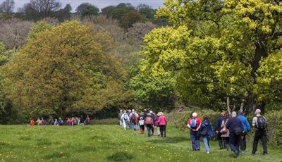
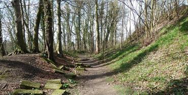
We start in one of Chesterfields delightful outlying villages then climb steadily through ancient woodland to reach Stone Edge where we will be remined of our lead mining heritage before crossing the first of two moorland areas.
Here we shall cross both of the two sicks which go on to form the river Hipper.
At Upper Loads, a local hamlet, we shall see where besoms were once made before traversing sections of open farmland to return to Holymoorside after crossing the river Hipper as it winds its way towards Chesterfield.
Booking essential
Find us on whatthreewords - ///launcher.tonight.swerves
Grid reference – SK 33902 69317
This is a circular walk
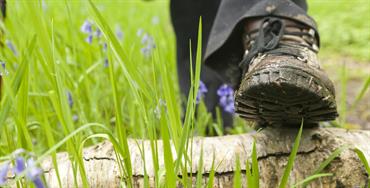
11+ stiles
Bring a packed lunch
Organised by Chesterfield Ramblers
Guide Prices
Booking essential.
Free of charge, however, donations will be gratefully accepted on behalf of Mountain Rescue and Air Ambulance.
Facilities
Children
- Children welcome - Children under 16 years must be accompanied by a responsible adult
Parking
- Free Parking - Limited on street parking available
Property Facilities
- Dogs Accepted - Must be on a lead
Routes
- Accessibility of route - Moderate
- Description of route - Circular walk, 11+ stiles, 3 rest stops Bring a packed lunch
- Length of route (miles) - 10 miles
- Typical duration of route - 5½ hours
Opening Times
Sorry, this event has passed
Map & Directions
Road Directions
From North/South leave M1 motorway at junction 29 and take A617 to Chesterfield (approx 4 miles). At traffic light controlled roundabout select left lane and take 3rd exit. Keep in left lane and at next roundabout take 1st exit (continuous lane). At traffic lights select middle lane and go straight on. At traffic light controlled roundabout (Matalan) take 2nd exit (A619). At next roundabout (Morrison's) select right hand lane and take 2nd exit (A619). Follow road for approx ½ mile and at traffic lights select left lane and go straight on (A619). Follow A619 for approx 1½ miles into 'national speed limit' zone and take next left turn signposted Holymoorside. Follow road for approx 1 mile into village. The village hall will be on your left.
From East follow A617 to M1 motorway junction, then follow route from North/South.
From West follow A619 towards Chesterfield. Pass Robin Hood pub on left and Highwayman Pub on right. Descend hill (road splits into 3 lanes). Pass petrol station on left and take next right signposted Holymoorside. Follow road for approx 1 mile into village. The village hall will be on your left.
Public Transport Directions
Nearest train station Chesterfield 3½ miles away
Bus number 91 from Chesterfield town centre, approximately one per hour